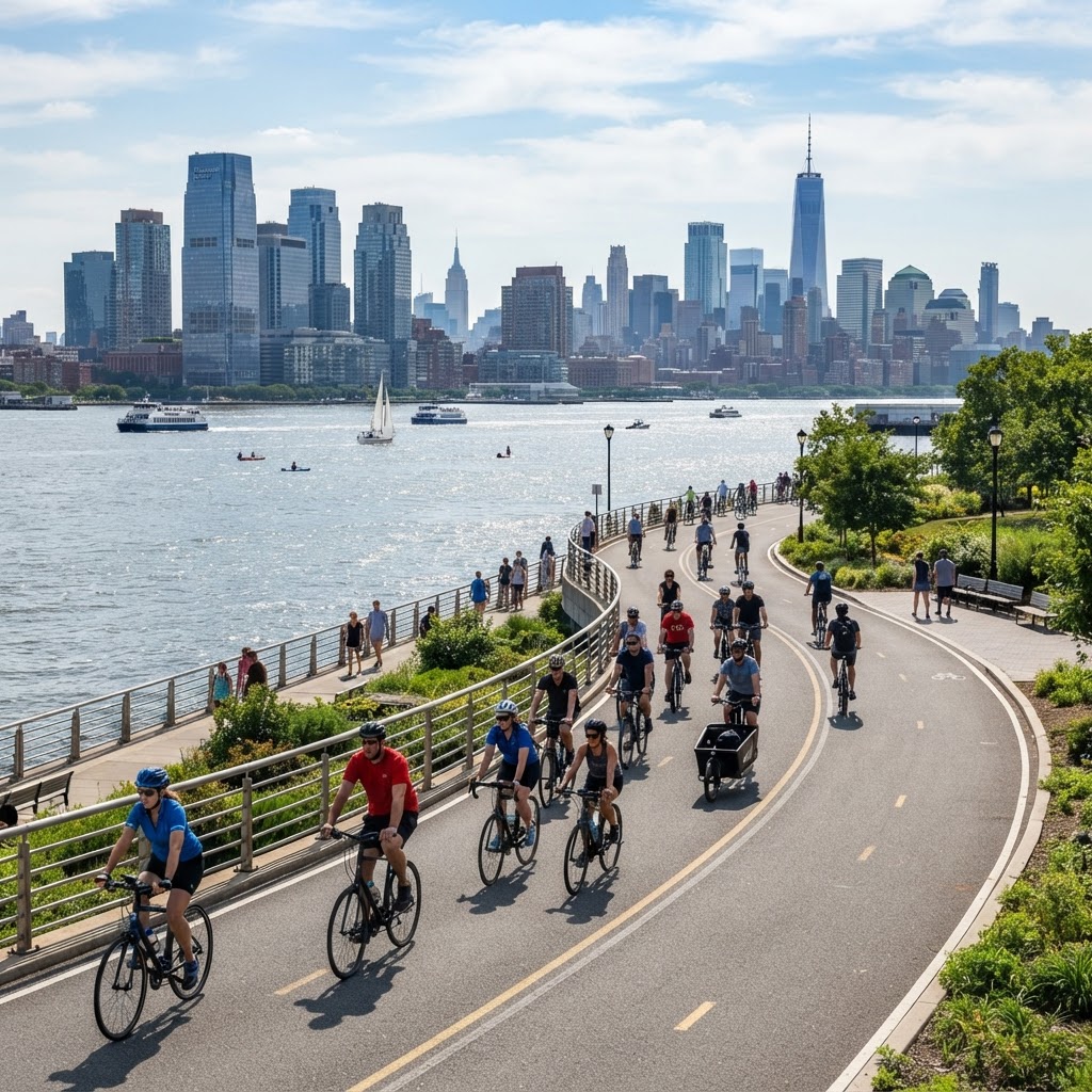
The waterfront path that connects Hoboken to Jersey City is one of the most valuable pieces of cycling infrastructure in the region. It links two cities' waterfronts into a single, continuous, car-free ride — and it's the gateway to the longest waterfront cycling in the New York metro area.
Where It Connects
The connector picks up at the southern end of Hoboken's Waterfront Walkway, near the border with Jersey City, and continues south along the river through Newport and Exchange Place. From there it keeps going to Liberty State Park and beyond. There's almost no break in the path for miles.
Why It Matters
Before the connector, riding from Hoboken to Jersey City meant mixing with traffic on busy streets. Now it's a flat, scenic, protected ride that opens up commuting, recreation, and long-distance riding for cyclists in both cities. It's the kind of infrastructure that genuinely changes how people move.
How to Ride It
Start at the Hoboken waterfront and head south — you can't really get lost; just stay on the riverside path. The surface is smooth and well-maintained. Watch for pedestrians in the busier Newport and Exchange Place sections, and slow down at the ferry terminals where foot traffic spikes.
Going Further
Once you reach Liberty State Park, you've done about 4 miles one way. From there, ambitious riders can continue exploring the Jersey City and Bayonne waterfronts, or loop back for a satisfying round trip.
The connector is proof that connected infrastructure transforms cycling — and it's right here in Hoboken's backyard.
Comments (0)
Log in to join the discussion
No comments yet. Be the first to share your thoughts!